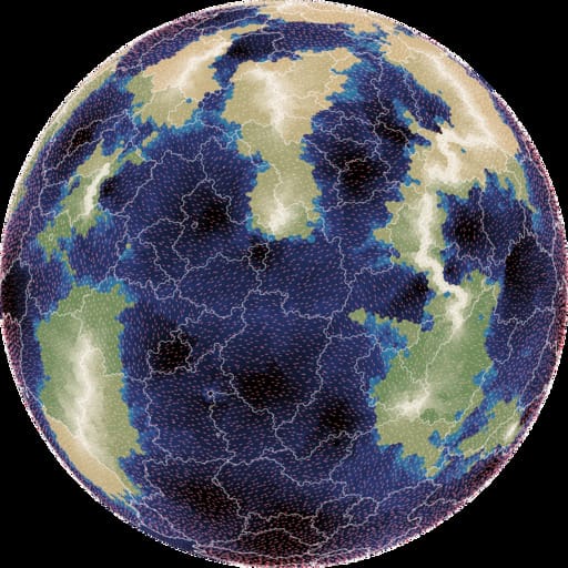
I spent 9 days working on map generation on a sphere. The first 2 days were geometry: points, triangles, polygons on a sphere. The next 7 days were maps:

- elevation: mapgen4's noise approach looked ok, but I wasn't happy with it, so I switched to using plate tectonics, which looked nice
- moisture: mapgen4's evaporation+wind+rainfall relied too much on a grid, so I wasn't able to use it; I ended up assigning biomes randomly
- rivers: mapgen4's binary tree forest works on graphs, and worked great on a sphere
- rendering: mapgen4's elevation rendering uses outlines and a custom projection which are designed for flat maps, and I wrote a new simple renderer
I wrote up my notes and am going back to working on mapgen4. I'm also putting all the (messy) code up on github.

No comments:
Post a Comment